History (totally fictional)
The City of Riverbank was established as a planned community for the
mining industry in 2015 after the discovery of nickel
and copper in the area some years earlier. This property is part of the
Ring Of Fire mining camp in northern Ontario's James Bay lowlands
area, a camp discovered around 2008, and famous for its Chromite and other
base metals finds. After bringing together the mining companies, First
Nations (sharing the same lands), and the provincial and federal
partners, an agreement was reached on a strategy on infrastructure,
electricity prices and resource sharing/employment opportunities in
relation to the First Nations and other people sharing that area.
Since the Ring Of Fire area is a very boggy and swampy terrain it
took some years to build a transportation infrastructure consisting of a
railway and road connecting the Riverbank Mine, other mining properties and small town scattered through the area. The new road and railway system
proved to be a great economic stimulus for the First Nations towns in that
area and spurred on further mineral exploration activities. Modern exploration and development practices such as social responsibility to the people living
and working in that area, environmental stewardship and a healthy and
safe environment contributed to the success of the Riverbank Mine (e3 – PDAC 2013).
By the late 2020s, the town of Riverbank population had grown to about 1200. The
population has varied with several boom-and-bust cycles from the 2020s
to the 2060s. Riverbank was incorporated as a city in 2055. In the
years since, the city looked elsewhere for its economic survival,
promoting itself as retirement town and tourist destination (not
unlike the story of Elliott Lake). Since the 2060s mineral
exploration activities have taken off again. Health issues ,because of past mining activities, have been of some concern but because of past successfully completed comprehensive mine closures major issues have been avoided. The City of Riverbank appears to have a bright future.
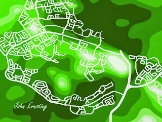
This digital painting should in no way be used to guide your real estate or retirement planning.
This digital painting should in no way be used to guide your real estate or retirement planning.

